
Go Back
GARMIN MONTANA 700i Rugged GPS Touchscreen Navigator with inReach® Technology
GH₵11,190.00
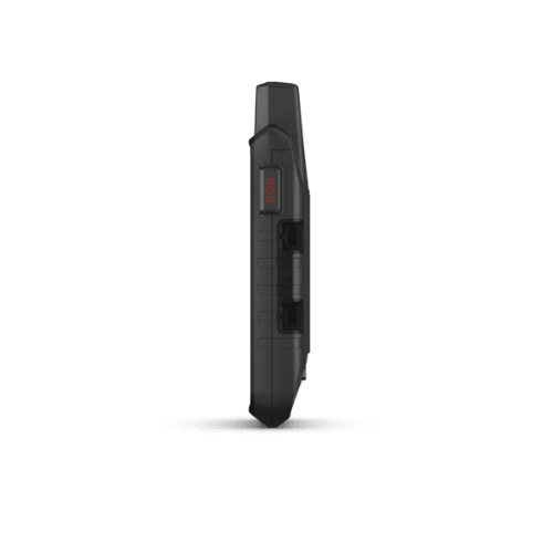
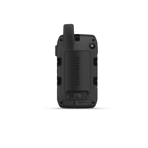
The Garmin Montana 700i is a rugged touchscreen handheld GPS navigator with inReach® satellite communication, letting you navigate off‑road and stay connected with global messaging and interactive SOS even where there’s no phone signal. It combines detailed mapping, long battery life, and military‑grade durability for serious outdoor adventurers.
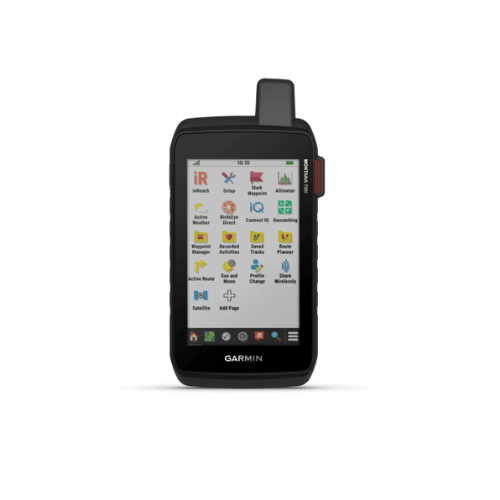
Key Features
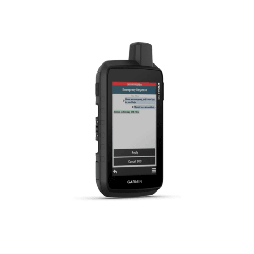
inReach® messaging & SOS
5" glove‑friendly touchscreen
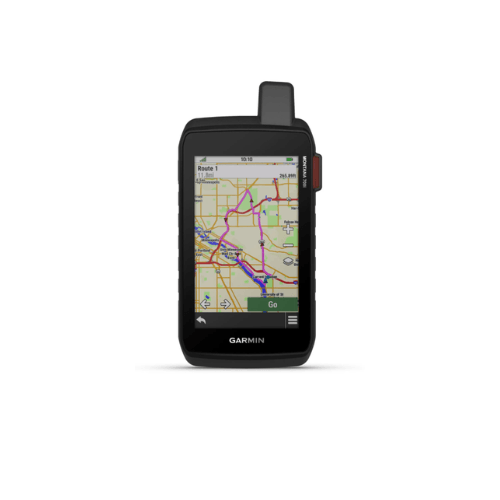
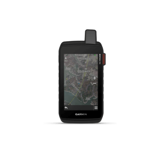
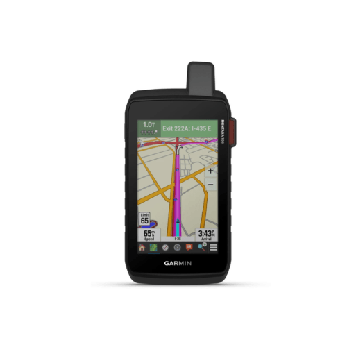
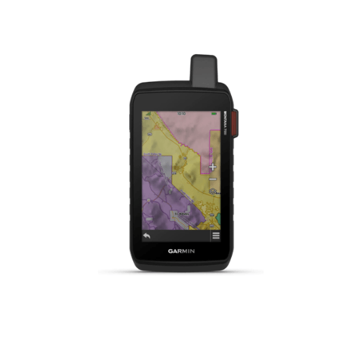
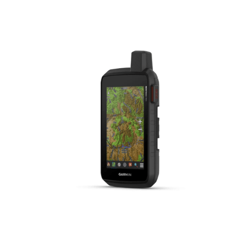
TopoActive & City Navigator maps
Rugged, water‑resistant design (IPX7)
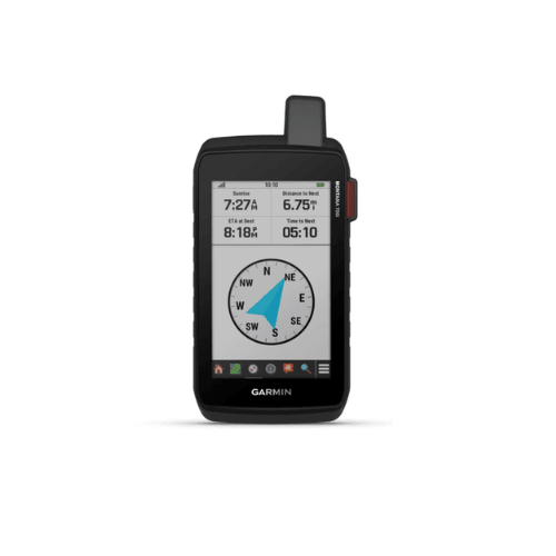
ABC sensors: altimeter, barometer, compass
Long battery life & Expedition mode
Specifications
Display: 5" (480 × 800 pixels) touchscreen
Size/Weight: 9.2 × 18.3 × 3.3 cm / 410 g
Battery: Rechargeable Li‑ion, up to 18 h GPS, 330 h Expedition
Memory: 16 GB internal + microSD
Connectivity: Wi‑Fi, Bluetooth, ANT+
What’s in the Box
Montana 700i GPS
Rechargeable battery
USB cable
Documentation
Key Features
inReach® messaging & SOS
5" glove‑friendly touchscreen
TopoActive & City Navigator maps
Rugged, water‑resistant design (IPX7)
ABC sensors: altimeter, barometer, compass
Long battery life & Expedition mode
Specifications
Display: 5" (480 × 800 pixels) touchscreen
Size/Weight: 9.2 × 18.3 × 3.3 cm / 410 g
Battery: Rechargeable Li‑ion, up to 18 h GPS, 330 h Expedition
Memory: 16 GB internal + microSD
Connectivity: Wi‑Fi, Bluetooth, ANT+
What’s in the Box
Montana 700i GPS
Rechargeable battery
USB cable
Documentation
Quantity
Add to cart